Why visit Mljet National Park in Croatia?
It’s a perfect place to relax, restore, and rejuvenate in nature. Imagine an exotic paradise in Europe. Bike, hike, swim, float, relax, rinse, and repeat.
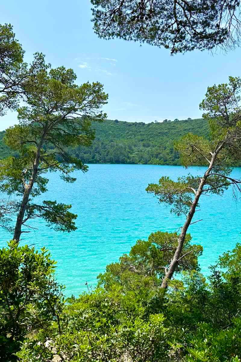
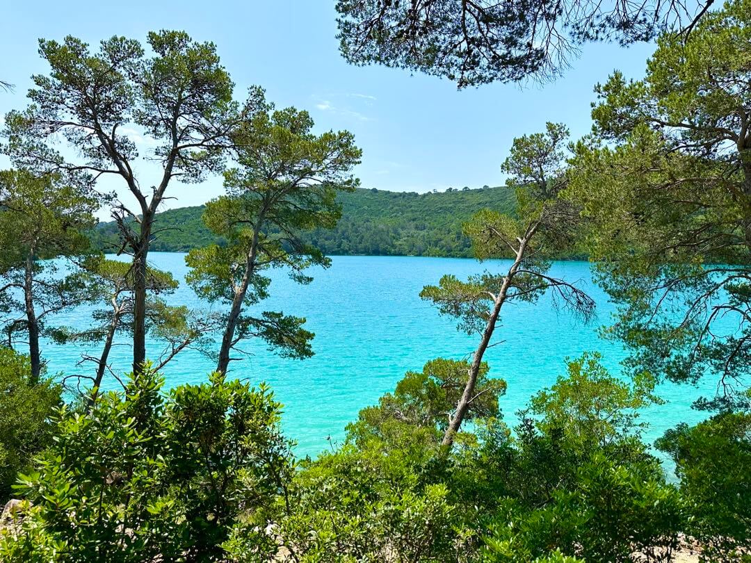
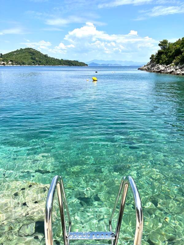
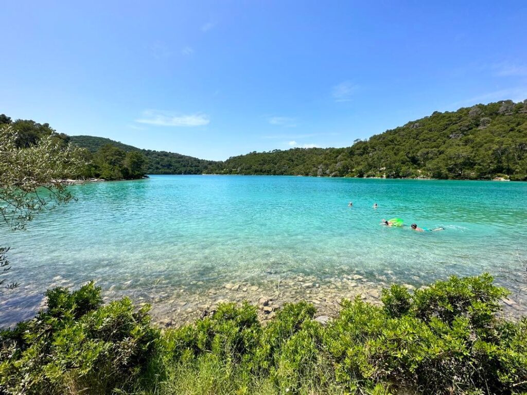
Swim in sensational turquoise fresh saltwater lakes
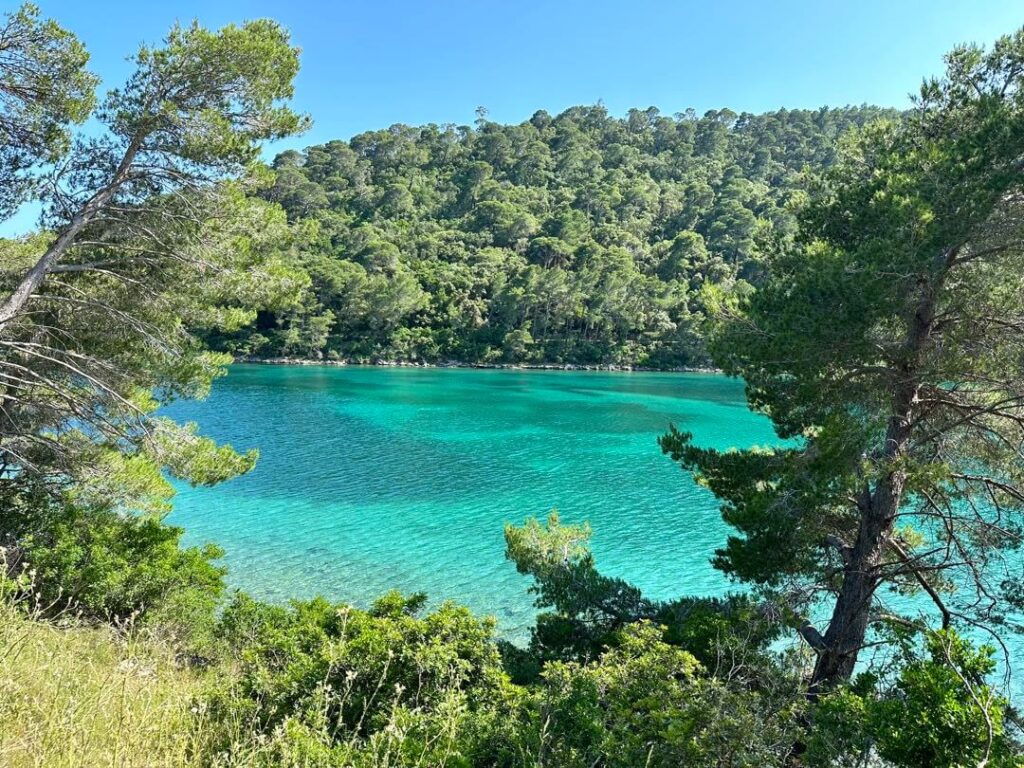
There are very few fresh saltwater lakes in the world, and even fewer are easily accessible. Mljet National Park fresh saltwater lakes are rare and beautiful to swim in, within minutes walk, bike ride, or drive from your hotel or Airbnb. Saltwater is not only easier to float in, but also packed with health benefits.
Bike around the lakes and park
Mljet National Park is heaven for those who like to ride a bike, mountain bike or e-bike. It’s easy to rent a bike everywhere. Cycling trails are well marked and undisrupted, and cars are prohibited on most. In fact, most visitors are on a bike or e-bike while enjoying the scenery of Miljet National Park.
A rare green island in Croatia
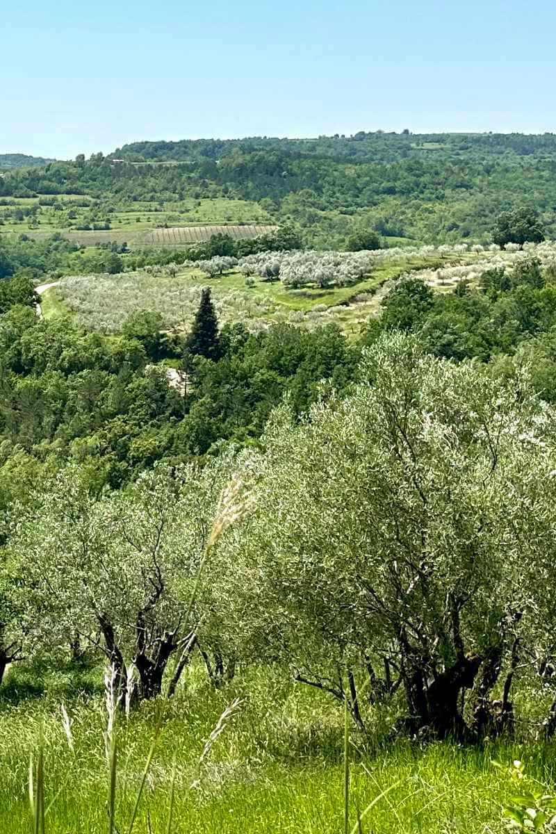
While the Dalmatian coast and islands are rocky and white washed, Mljet is green and lush. The scenery is refreshing coming from the Dalmatian coast. Mljet is like a paradise in South East Asia without the humidity.
Biodiversity
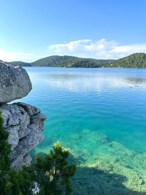
Mljet is declared as a national park in 1960, making it the oldest protected marine area in the Mediterranean sea. The biodiversity in Mljet National Park is incredible in both land and sea or lakes.
Off the beaten path
Want to get away from the Croatia tourists crowds in Dubrovnik and Split and enjoy world class nature?
Interactive map of Mljet National Park
The interactive map of the official Mljet National Park website is the best map available, easiest to use, most informative, and in 5 languages — English, Hrvatski, Deutsch, čeština, and Italiano. You can zoom in and out, click on natural and cultural sights for more information and pictures.
Useful Google Maps of cycling trails and hiking trails in Mljet National Park
Mljet National Park service customized Google Maps for several biking trails and hiking trails. You can use the links below for the trail Google Maps. Or, you can get the brochures with QR codes at Park Ticket Offices. Load the map when you have cell phone signals. The map gives you the route, stops, legend and direction.
From Polače:
Cycling trail G: Polače – Polače
Mountion bike. 14.7 km.
Hiking trail B: Polače – Polače
Easy to moderate. 12.2 km. 4 hours.
Hiking/walking trail C: Polače – Pomena
Easy. 5 km. 2 hours
Hiking trail D: Polače – Polače
Moderate. 14.8 km. 5-6 hours
From Pomena:
Hiking/walking trail A: Pomena – Pomena
Easy to moderate. 8.7km. 4 hours.
Hiking trail E: Pomena – Pomena
Moderate. 13.5 km. 4-5 hours.
Cycling trail F: Pomena – Pomena
Mountain bike. 17.7 km.
Cross park:
Cycling Trail H: Blato- Vrbovica
Mountain bike. 18.5km.
Where is the easiest bike route with the best view?
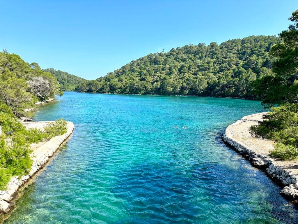
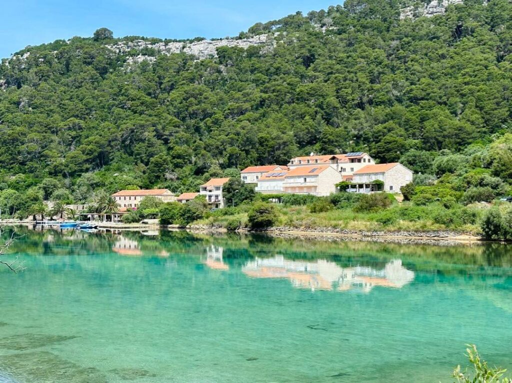
Those long bike trails the Park designed for you are a workout. If you just want to take it easy, enjoy the view and take a dip in the lakes, simply bike around the Great Lake on paved roads. If you are staying in Pomena, it’s the easiest to rent a bike at Mali most with cash right at the Great Lake. Mali most is only about 15 minutes walk from the Pomena National Park Ticket office, and you can enjoy the view of the small lake on the way.
There are bike rails to help you move your bikes across the bridge at Veliki most.
Where are the best swimming spots?
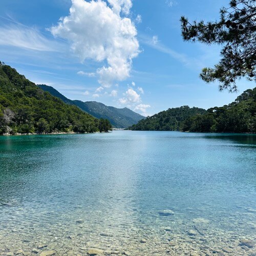
Most people go swimming in the Small Lake (Malo Jezero) because it is an easy walk from Pomena. However, the water in the Great Lake (Veliko Jezero) is fresher and more beautiful. The view is better too. The swimming spots around Veliki most and along the coast from Veliki most to Saint Mary’s Island are the best.
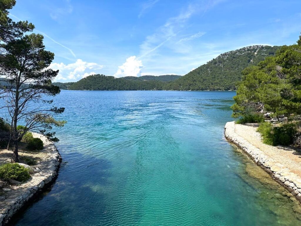
Where to watch out for currents?
You’d need to watch out for currents at the necks between the Small Lake and the Great Lake (Mali most), between the Great Lakes and the Soline channel (Veliki most), and along saline channel. The condition of the currents changes constantly. Some times it’s manageable, and sometimes it’s not safe to swim. At Mali most however, it’s fun to let the currents carry you like a slide since it’s short and narrow, as long as it’s manageable to you.
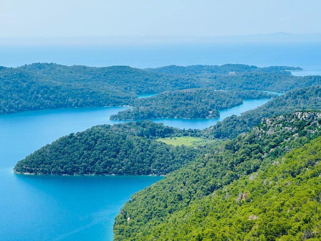
Best lookout viewpoint of Mljet National Park
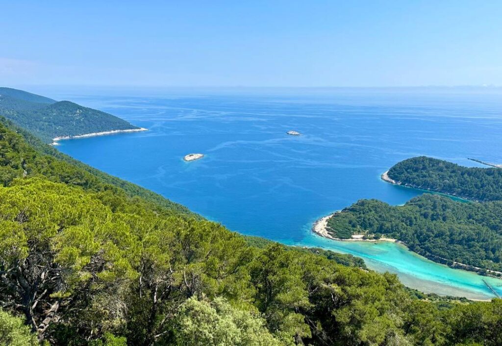
Mt. Montokuc peak has the best 360 view overlooking Mljet National Park and the Dalmatian coast. You can see many shades of green and blue, the lakes, the forest of Aleppo pine and holm, Soline channel in the brightest turquoise, and Adriatic sea in the deepest blue. It’s is worth hiking up.
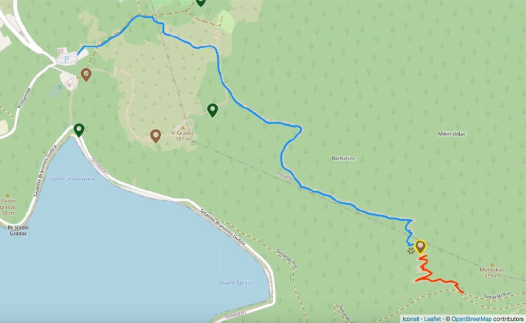
Hiking trails to Mt. Montokuc
- Start from the Mljet National Park Entrance Ticket and Parking (blue route). Follow signs to Mt. Montokuc. It takes about 50 minutes to hike the peak. There is no steep incline, and the trail is moderately shaded.
- Start from the paved road a few minutes east of Spilice lookout (red route). It’s a zigzag steep incline trail to the peak.
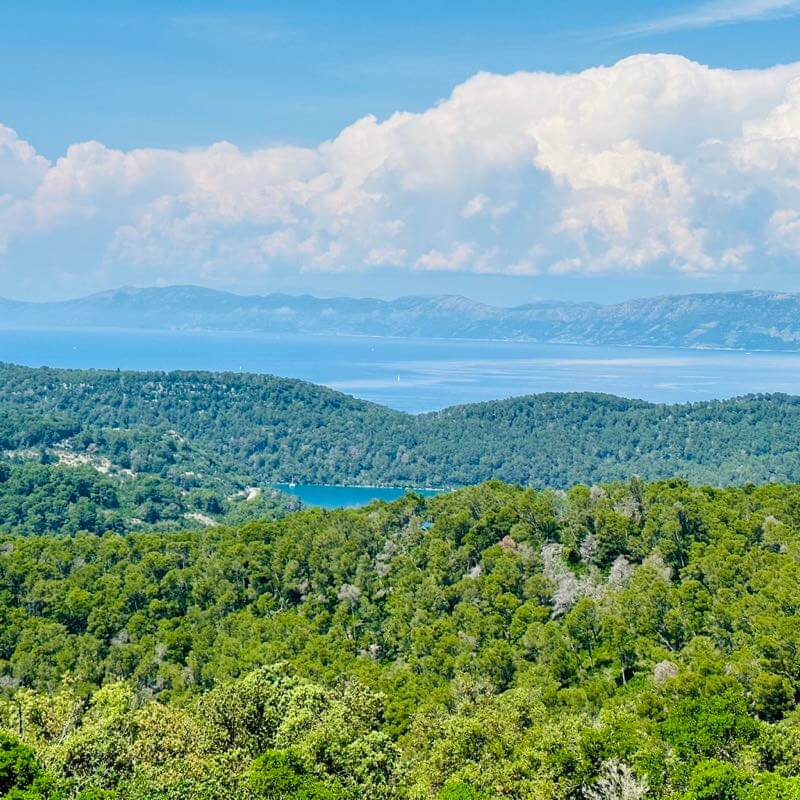
Hidden gem spots in Mljet National Park
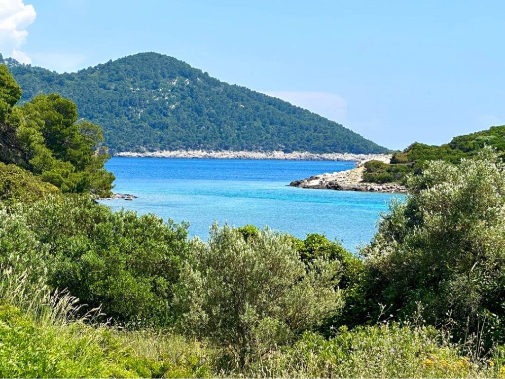
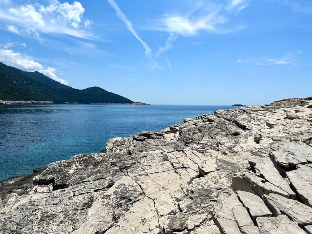
Mljet National Park is not crowded, although the roads around the Great Lake and the Small Lake can get a little busy. The shores of Soline channel on both sides are even more beautiful but less visited. You can ride your bikes all the way down the shore. Find your own hidden gem spots to stop, sit back and enjoy the view. Mt. Montokuc is a hike up directly behind Soline. At the end, you can see the open sea. Vrata Od Solina is at the tip and offers spectacular views.
Where to pay for Mljet National Park entrance fee?
There is no gate. You can pay at the Mljet National Park Ticket Office in Pomena, Mljet National Park Ticket Office in Polače, at your hotel, or at the National Park Entrance and Parking.
Is there drinking water in Mljet National Park?
Yes. There is a fresh cold water drinking fountain National Park Entrance and Parking, but there is no spout for filling a water bottle.
Is there cell phone signal in Mljet National Park?
For the popular areas, there is cell signal in the park. Otherwise, signal can be spotty or there may not be any signal at all in some places.
How to get to and around Mljet National Park?
- Passenger and car ferry from Prapratno to Sobra is very easy. Prapratno is about 5 minutes drive from Ston. Arrive 1 hour before the car ferry departure time to be safe as the car entry is first come first served even if you booked in advanced. Mljet National Park is 30 minutes drive towards west from Sobra port.
- Fast passenger ferry catamaran from Dubrovnik to Sobra and Polace. There is car rental Mini Brum right at the Sobra port.
- Fast passenger ferry catamaran from Split, Hvar, Brac, and Korcula to Pomena or Polace. You don’t really need a car in Pomena or Place because you are already in Mljet National Park. There are plenty of bike or e-bike rentals.
For more details, check out Croatia Ferries. The fast ferry makes a day trip from Dubrovnik or Korcula to Mljet National Park possible.
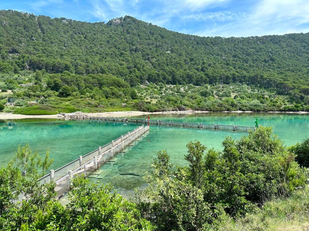
Plastic waste from Albania
In fall and winter, the sea currents and winds bring large amounts of waste to shore, mostly from Albania. Sad! A dam in the Soline channel is built in 2003 to catch the waste and protect the lakes from the waste. Hopefully, the neighboring countries will become more conscious about protecting the environment.
